Coastal Management
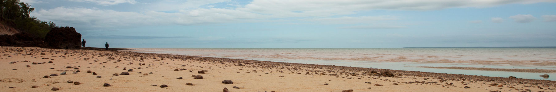
The Tiwi Islands have a combined coastline of around 800 kilometres. The two islands are separated by Apsley Strait, which is approximately 70 kilometres long, and ranges from approximately 600 metres to 6 kilometres in width. The main communities of Wurrumiyanga, Pirlangimpi and Milikapiti are all located on the coast, and most outstations and permanent campsites are either on the coast or nearby. However, much of the coastline is inaccessible by road, which creates considerable challenges for management.
The Tiwi Islands are listed as a site of conservation significance and coastal and marine areas support internationally significant nesting sites for marine turtles, seabird rookeries and major aggregations of shorebirds. The north coast of Melville Island has some of the highest numbers of Olive Ridley turtle nesting in Australia, and is a key area for dugongs in the Northern Territory. Pirripatiriyi (Seagull Island), off the north-west coast of Melville Island, has been identified by BirdLife International as an Important Bird Area because it supports the largest colony of Crested Terns in the world.
The coastal area holds strong cultural significance to Tiwi people and historically has been a major focus of activity and contact, from Macassan traders to Dutch explorers, Japanese pearlers, traders, and Missionaries. Most of the significant sites identified in Tiwi history are located on the coast, as are residential, hunting and ceremonial campsites. Mangrove and estuarine areas are particularly important for traditional food resources.
The importance of the coastal zone, its access and resources, has been a priority for the Tiwi Land Council for decades. Tiwi leaders are required to deal with competing interests between landowners, recreational and commercial fishing, tourism, government, researchers and public lobby groups. In response to ongoing coastal management issues, the Tiwi Land Council created a Tiwi Marine Ranger program. Established in 2001, this was the first Aboriginal Marine Ranger program in the Northern Territory. Climate change is another significant coastal management concern for Tiwi leaders, with sea levels in northern Australia rising from between 7 and 11 mm annually over the past 20 years.
In 1995, the Tiwi Coastal Waters Consultative Committee was formed to progress dialogue between Tiwi interests and the NT Government. The Committee deals with issues such as net debris, marine legal enforcement, jurisdictional interests, illegal immigrants and their vessels, river closure lines, recreational permits and agreements, and commercial aquaculture planning. The Committee also works with NT Fisheries to increase Tiwi Marine Ranger capacity in fisheries management and compliance. The Tiwi Land Council also provides representation at Territory and national coastal and marine forums.
Close proximity to Darwin has made the Tiwi Islands a popular destination for recreational fishers. In response to increased pressure on fish stocks, the Tiwi Land Council entered into an Agreement with the NT Government to restrict some waterways for the exclusive use of Tiwi-owned guided fishing enterprises. The north and west coasts of the Tiwi Islands are closed to recreational fishing without a permit. Waterways on the south and east coasts remain open to recreational fishers. View Fishing the Tiwi Islands and Fishing Permits for further information.